Forests of the Red Duck: Canvasback's 250-Year Winter in San Pablo Bay
In the summer of 1775, a Spanish ship sailed into a bay no European vessel had ever entered. Its pilot, José de Cañizares, spent weeks sounding the shallows and...

Posts by:
Owner, Napa Valley Paddle
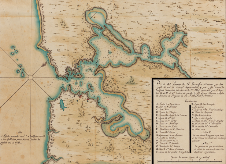
In the summer of 1775, a Spanish ship sailed into a bay no European vessel had ever entered. Its pilot, José de Cañizares, spent weeks sounding the shallows and...
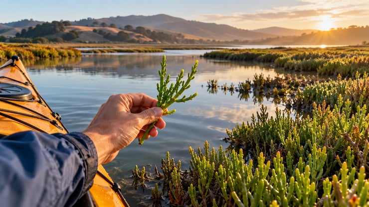
The plant we pick on every tour On every estuary tour, at some point I reach over the side of the kayak, pinch off a bright green stem, and hand it around. Pickleweed....
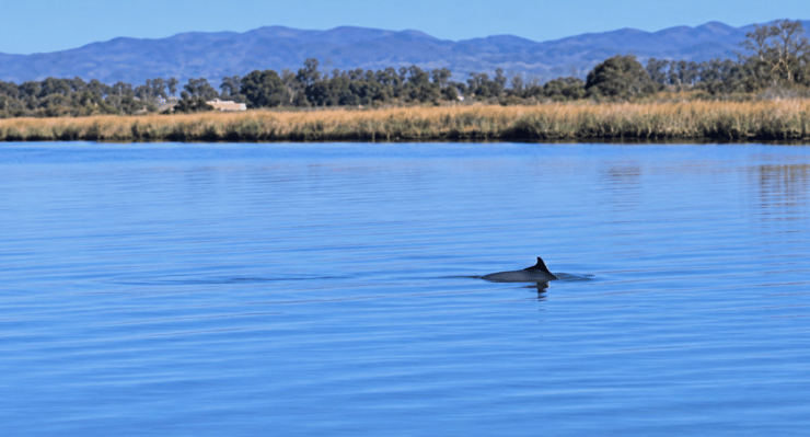
By Drew Dickson, Napa Valley Paddle


Inside the “Anti-Luxury” Travel Movement Redefining Adventure in the North Bay By Drew Dickson

Can You Kayak on the Petaluma River? Yes, the Petaluma River offers wonderful kayaking opportunities for paddlers of all ages and abilities.

Patterns in nature reveal themselves with striking clarity over time, from the synchronized movements of migratory birds and spawning fish to the seasonal shifts in...
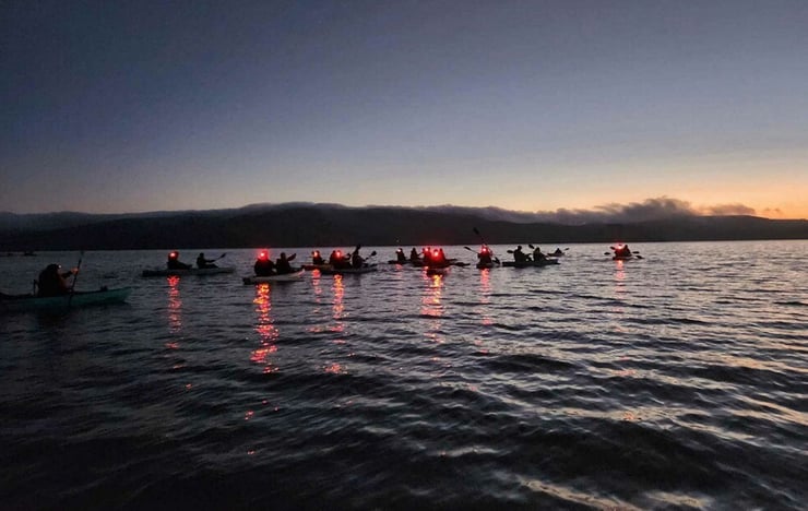
Imagine floating under a sea of stars, atop the calm waters of Tomales Bay. As your kayak curves through the water, the surface begins to sparkle with white-blue light...

Some areas of the world are inextricably linked to wine. Champagne, France; Tuscany, Italy; Marlborough, New Zealand; and yes, Napa Valley, California are certainly...

With mild year-round weather and a long warm season from May to October, Napa is a popular destination at any time of the year. But the seasons do dictate the kinds of...

